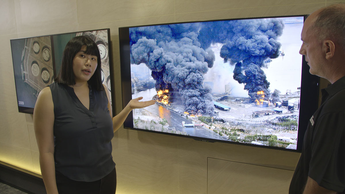


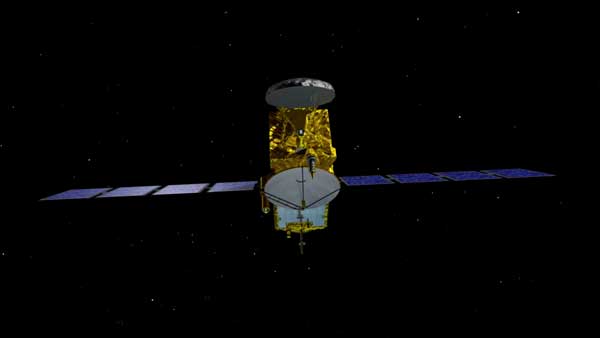


What does the science of remote sensing tell us about the rate cities are sinking, predicted impact on rising oceans and solutions required to build a resilient Asia? This episode explores which countries are at risk of sinking and flooding. How scientists work with remote sensing, satellites, and the latest NASA data systems which can measure, track and predict the rate mega cities are sinking such as Jakarta, Bangkok, Shanghai, Manila will face over the next 30 years to 2050.
Across Southeast Asia there are mega cities sinking fast. All face major climate challenges from rising seas, floods and extreme weather events. The race is on to predict how fast cities will sink and how the changing ocean will impact their sustainability.
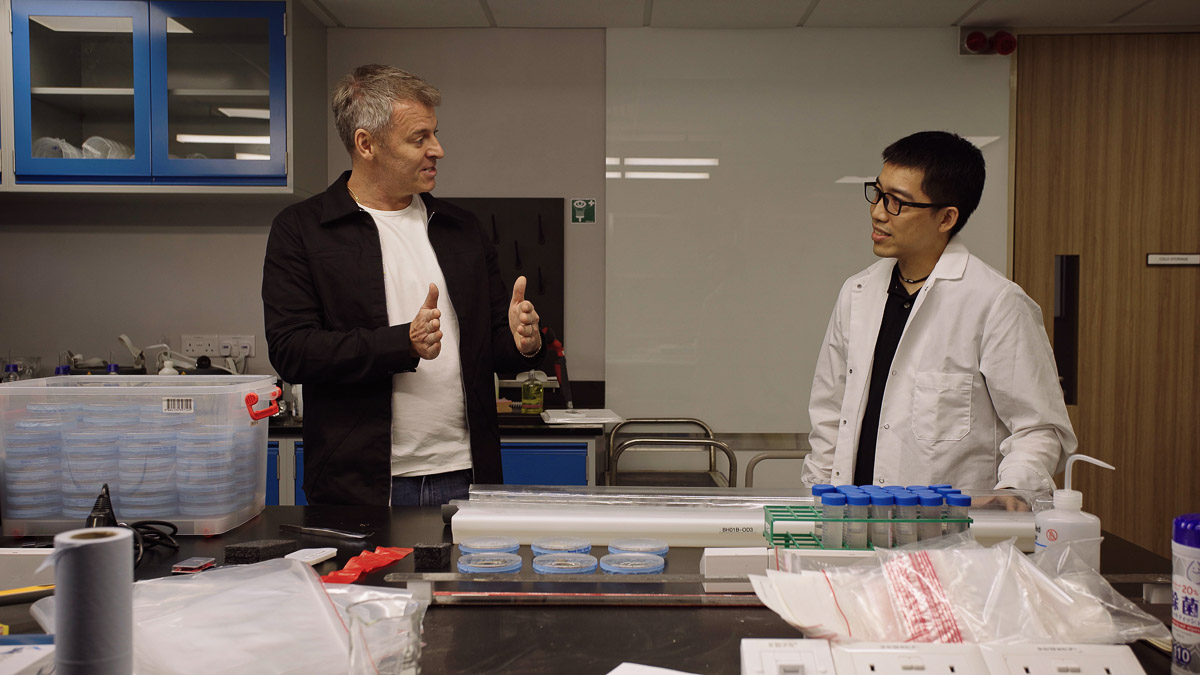
In this episode, travel with scientists from the Earth Observatory of Singapore across the region to understand what is causing cities to sink, how they are being monitored and why building resilience into communities is critical to their long-term survival.
Scientists from the Earth Observatory of Singapore, explore the rate of land subsidence and sea level rise across the region. Working with NASA they build a data network across the region to track land height movement and monitor geological forces which can have tremendous impact on sinking cities. These include events such as an earthquake, volcanic eruption, tectonic plate movement, and why seismic gaps need to be closely monitored.
Scientists review strategies that can be implemented to help keep communities in the region safer from the impact climate change is having on the ocean, and looks at the long term climate models driving a critical need for change.
The Earth Observatory of Singapore is playing a leading role in monitoring the movement of tectonics, rising sea level, increased coastal hazard events; working with NASA, the Rockefeller Foundation and Resilient Cities Network to identify frameworks for building resilient cities to sustain Southeast Asia in the future.